Click photo to enlarge
Published at $29.99
Your Price
$21.95
(Save $8.04)
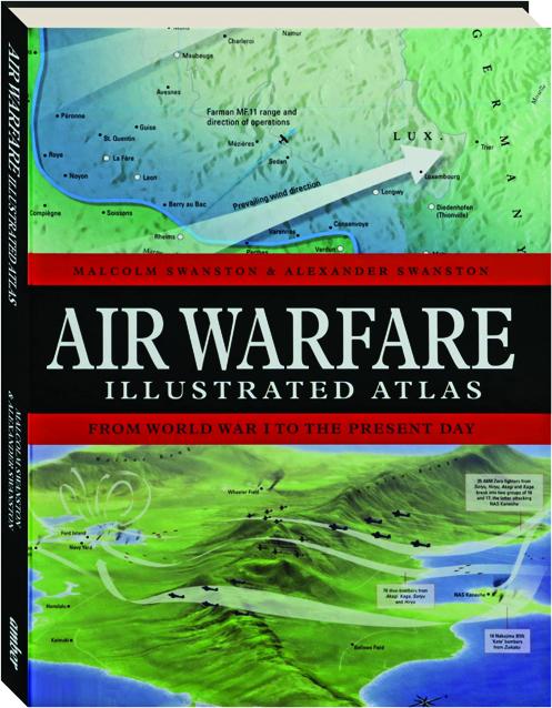
AIR WARFARE ILLUSTRATED ATLAS: From World War I to the Present Day
An accessible account of the development of aerial warfare, from the first skirmishes over the Western Front in World War I to today's hi-tech netcentric aerial battlespace over Ukraine. Includes over 120 computer-generated maps and graphics.
Format: Hardbound
Pages: 224
Publisher: Amber
Publishing status: Current
Size: 8¼x10¾ inches
ISBN: 9781838864941
Item #: 9197931
Published at $29.99
Your Price
$21.95
(Save $8.04)
Money Back Guarantee
Not satisfied with an item? Return it within 60 days for a full refund. No restocking fee. No questions asked.