Click photo to enlarge
Published at $35.00
Your Price
$17.95
(Save $17.05)
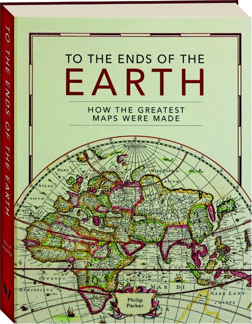
TO THE ENDS OF THE EARTH: How the Greatest Maps Were Made
Discover how methods of mapping and surveying the world have evolved, from the ancient Roman groma, through naval and astronomical instruments such as the magnetic compass, astrolabes and sextants, to the revolution of aerial and satellite photography. Fully illustrated most in color.
Format: Hardbound
Pages: 240
Publisher: Ivy Press
Publishing status: Current
Size: 8¼x10½ inches
ISBN: 9780711282643
Item #: 1246836

Published at $35.00
Your Price
$17.95
(Save $17.05)
Money Back Guarantee
Not satisfied with an item? Return it within 60 days for a full refund. No restocking fee. No questions asked.
You Might Be Interested In
-
 THE GENOESE CARTOGRAPHIC TRADITION AND CHRISTOPHER COLUMBUS, VOLUME XIIHardbound$7.95
 -
SECRET MAPS: Maps You Were Never Meant to See, from the Middle Ages to TodayHardbound$31.95 $39.00
-
ATLAS OF BORDERS: Walls, Migrations, and Conflicts in 70 MapsHardbound$29.95 $39.95
-
40 MAPS THAT WILL CHANGE HOW YOU SEE THE WORLDHardbound$11.95 $28.00